Geoscience


What is geoscience?
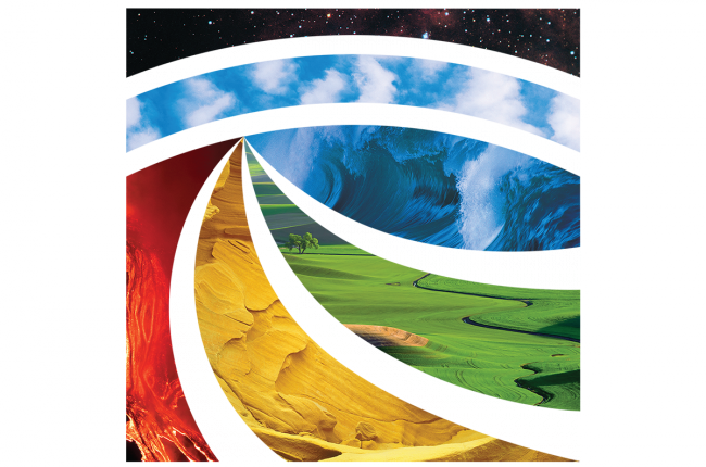
Screenshot of the AGI glyph showing the different elements of geoscience.

Geoscience is the study of the Earth - its oceans, atmosphere, rivers and lakes, ice sheets and glaciers, soils, its complex surface, rocky interior, and metallic core. This includes many aspects of how living things, including humans, interact with the Earth. Geoscience has many tools and practices of its own but is intimately linked with the biological, chemical, and physical sciences.

Geoscience investigates the past, measures the present, and models the future behavior of our planet. But it also involves the study of other planets, asteroids, and solar systems, both to better understand the Earth and to expand our knowledge of the universe.

Learn More

  • Explore the Geosciences (Website) American Geosciences Institute
    A wide range of information products covering five major areas of geoscience that impact people: climate, energy, natural hazards, mineral resources, and water
  • Directorate for Geosciences (Website) National Science Foundation
    Homepage for the National Science Foundation directorate responsible for the majority of federal funding for geoscience research across the country
  • Education Resources Network (Website) American Geosciences Institute
    Resources for geoscience education at the K-12 level, including curricula, media, professional resources, outreach programs, and links to many other geoscience and education organizations
  • Information Services (Website) American Geosciences Institute
    The widest range of geoscience information services available online, including the GeoRef database, which can be used to search 3.7 million references to articles, books, maps, conference proceedings, reports, and theses
  • Geoscience Workforce (Website) American Geosciences Institute
    Workforce and careers data and information for the geosciences

Geoscience and Remote Sensing

What is Geoscience?

Geoscience (also called Earth Science) is the study of Earth its oceans, atmosphere, rivers and lakes, ice sheets and glaciers, soils, its complex surface, rocky interior, and metallic core. This includes many aspects of how living things, including humans, interact with the Earth. Geoscience has tools and practices of its own but is intimately linked with the biological, chemical, and physical sciences.

Geoscience studies the processes that form and shape Earth’s surface, the natural resources we use, and how water and ecosystems are interconnected. Geoscience investigates the past, measures the present, and models the future behavior of our planet. But it also involves the study of other planets, asteroids, and solar systems, both to better understand the Earth and to expand our knowledge of the universe.

source: www.usgs.gov and www.americangeosciences.org

What is Remote Sensing?

Remote sensing is the process of detecting and monitoring the physical characteristics of an area by measuring its reflected and emitted radiation at a distance (typically from satellite or aircraft). Special cameras collect remotely sensed images, which help researchers “sense” things about the Earth. Some examples are:

  • Cameras on satellites and airplanes take images of large areas on the Earth’s surface, allowing us to see much more than we can see when standing on the ground.
  • Sonar systems on ships can be used to create images of the ocean floor without needing to travel to the bottom of the ocean.
  • Cameras on satellites can be used to make images of temperature changes in the oceans.

Some specific uses of remotely sensed images of the Earth include:

  • Large forest fires can be mapped from space, allowing rangers to see a much larger area than from the ground.
  • Tracking clouds to help predict the weather or watching erupting volcanoes, and help watching for dust storms.
  • Tracking the growth of a city and changes in farmland or forests over several years or decades.
  • Discovery and mapping of the rugged topography of the ocean floor (e.g., huge mountain ranges, deep canyons, and the “magnetic striping” on the ocean floor).

source: www.usgs.gov


Comments

Post a Comment

Popular posts from this blog

Atmospheric science

agricultural sciences